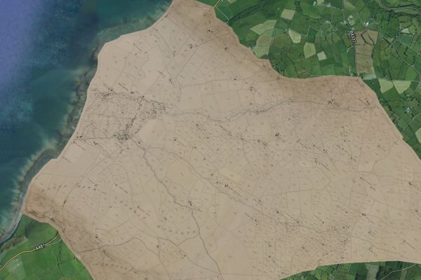
Free online access to the Tithe maps
Visit Places of Wales to search and browse the tithe maps of Wales and accompanying apportionment documents for free.
Who will you discover today?
The Library holds a set of tithe maps and associated schedules for Wales. Tithes were payments charged on land users, and payments were originally made using commodities like crops, wool, milk and stock. Tithe maps were produced between 1838 and 1850 following the Tithe Commutation Act of 1836 as a part of the process to ensure that all tithes were paid with money rather than produce.

Visit Places of Wales to search and browse the tithe maps of Wales and accompanying apportionment documents for free.
Who will you discover today?
There are over a thousand tithe maps; these are the most detailed maps of their period and they cover more than 95% of Wales. All tithe maps have associated apportionment documents which list the payable tithes, the names of the landowners and land occupiers, the land use, and in most cases (75%) the field names. They vary in detail and many of them do not contain place names.
Three copies of the tithe maps and apportionment documents were created. The main copy was held by the Tithe Commissioners, these are now kept at the The National Archives. A local copy, originally produced for the local church, and many of these are now held by local archives. A third copy was made for the diocesian registry and these are the copies held at the National Library of Wales.