


Share your opinion
Help us improve our services by filling in our quick survey to let us know how we're doing.
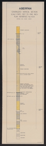
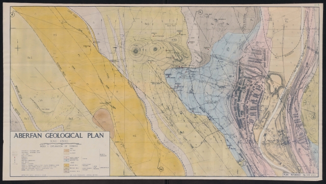
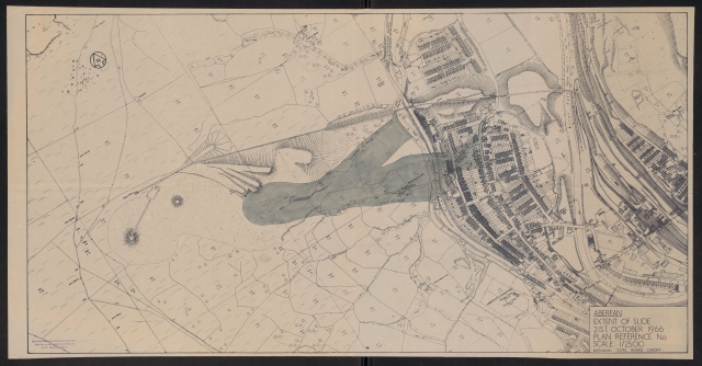
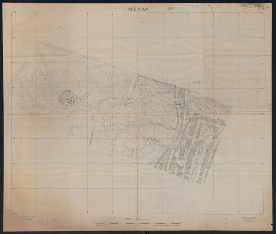
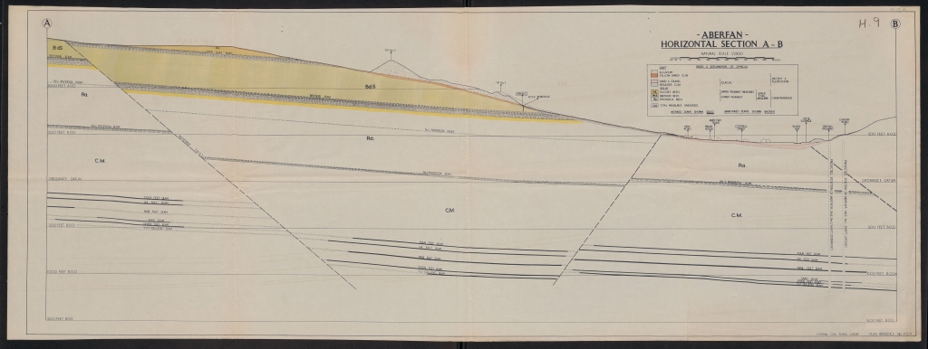
Below is a variety of maps and technical plans submitted as part of tribunal evidence showing the area of Aberfan, its geology and further analysis on the slide:
Note: Images will be accessible on viewer software in the future
Two maps were created by the Ordnance Survey. The first is taken from RAF photographs in 1963 while the one which followed was a 3-piece map showing the larger area of Aberfan and tip locations specially made for the tribunal:
Several architectural plans were drawn for the Aberfan Community Centre, including a colour sketch of the building from Moy Road:
Two architectural drawings were also created by Dewi-Prys Thomas for the Aberfan Cemetery Memorial: