Share your opinion
Help us improve our services by filling in our quick survey to let us know how we're doing.
The Library’s map collection contains over 1.5 million sheets of maps, charts and plans as well as thousands of atlases.
It is the largest map collection in Wales, and one of the largest in the British Isles. The collection contains a wide range of materials from the latest electronic mapping to 16th century maps and charts on vellum. The collection specialises in Welsh material but also has a large number of items covering the rest of the world.

The earliest surviving maps that show Wales are general maps of the British Isles or Europe.

A selection of digitised maps depicting the counties of Wales from the late 16th Century onwards.

A selection of manuscript estate maps relating to Wales; ranging in date from the 16th century to the 20th century.

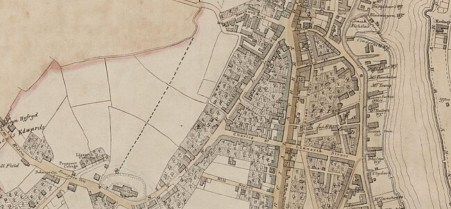
Large scale maps of built-up areas, providing detailed information about the urban landscape and buildings.

We have a large collection of charts, mostly modern Admiralty and commercial charts, but also antiquarian charts.

Tithes were payments made to support the parish church and its clergy. We hold a set of tithe maps and associated schedules for Wales.

Browse our large collection of maps relating to the First World War, including both military and civilian maps.

Browse Idris Mathias' beautiful manuscript map of the lower Teifi Valley. Img Copyright Welsh Place-Name Society

A selection of digitised maps depicting administrative boundaries in Wales from the 19th century.